Features
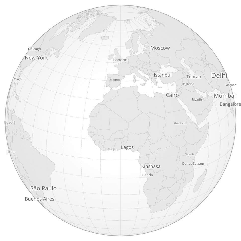
- 🌍 Interactive 3D globe with orthographic projection
- 🏙️ Dynamic city labels with collision detection
- 🔄 Smooth drag-to-rotate and zoom interactions
- 🌙 Dark mode aesthetic with elegant color scheme
- ⚡ Canvas rendering for geo with SVG labels for superior text quality
Architecture
- Canvas Layer: Renders geographic features (sphere, graticule, countries)
- SVG Overlay: Renders city labels with proper text antialiasing and paint-order
The separation allows optimal performance for each rendering type while maintaining clean visual output.
Interaction
- Drag to rotate the globe
- Scroll to zoom in/out
- City labels appear dynamically based on population and viewport visibility
MIT Licensed