Interactive Global Map with India Districts
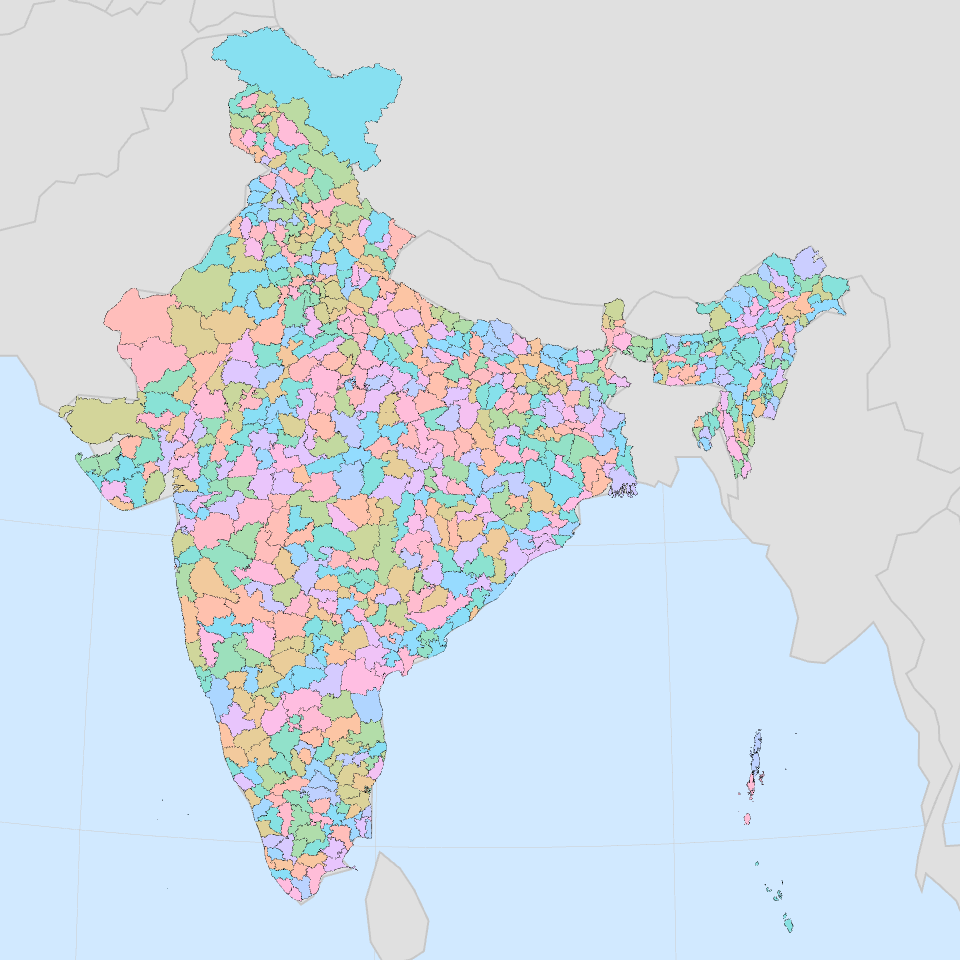
This project renders an interactive 3D globe showing countries of the world with India's districts overlaid as a separate layer.
Features
- Interactive pan and zoom
- World countries from topojson data
- India districts displayed as a separate layer
- Graticule lines for geographic reference
MIT Licensed