London Locator Map
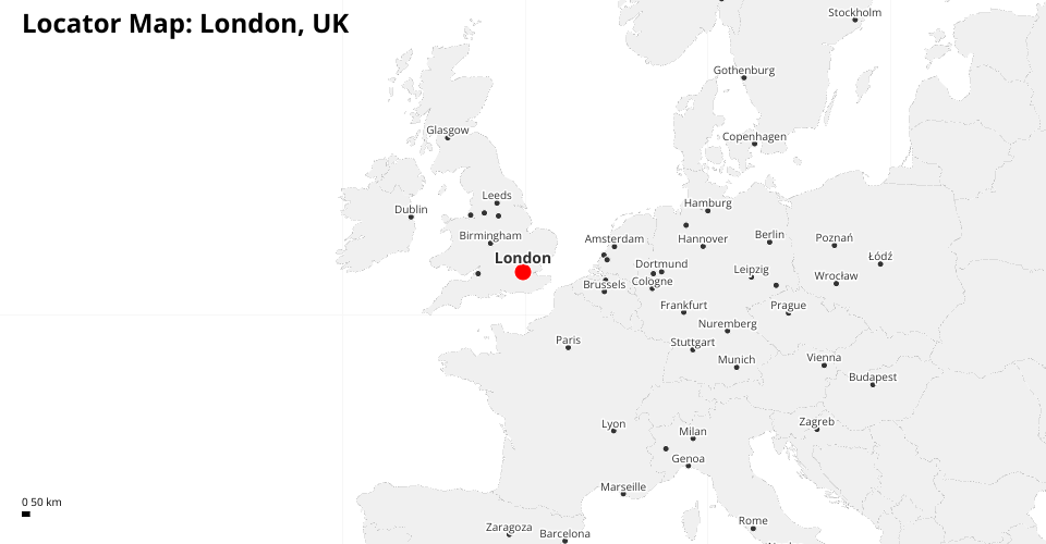
This visualization shows a locator map for London, UK, displaying its geographical context and major surrounding cities.
The map uses D3's geographic projections to create a focused view of London, with:
- London highlighted as the central point
- Surrounding major cities labeled
- Country borders
- A graticule for geographic reference
- A scale bar for distance reference
Data sources:
- World geography from TopoJSON
- Cities from a CSV dataset that includes population data
Built with D3.js for geographic projections and data visualization.
MIT Licensed