Interactive Submarine Cable Map
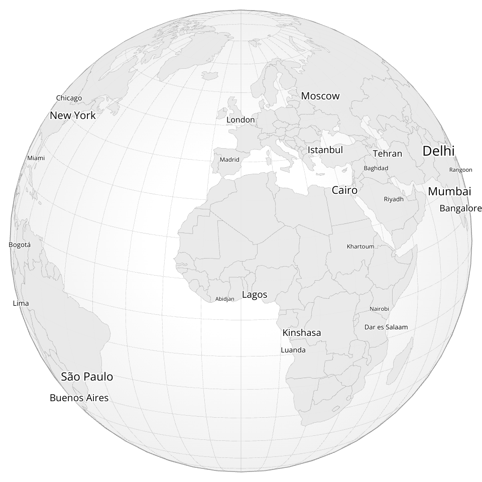
A beautiful, interactive 3D globe visualization showing worldwide city networks. Built with D3.js and featuring dark mode aesthetics.
Data from:
- https://unpkg.com/visionscarto-world-atlas@0.1.0/world/110m.json - world atlas data
- https://gist.githubusercontent.com/curran/a59ef43debb9fcfd38858d0be4f3b087/raw/a56bdbdb758eebf6a387d47e4d428258e5cb2abd/worldcitiesReduced.csv - cities data
Features
- 🌍 Interactive 3D globe with orthographic projection
- 🏙️ Dynamic city labels with collision detection
- 🔄 Smooth drag-to-rotate and zoom interactions
- 🌙 Dark mode aesthetic with elegant color scheme
- 🎨
- ⚡ Usa
- ⚡ to te tlobehe globe, sc to zoom in/out. City labels appear dynamically based on population and viewport visibility.
MIT Licensed