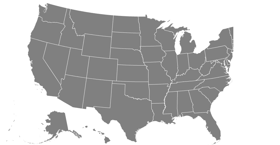
A demo of the geo-albers-usa-territories projection showing US State boundaries from US Atlas TopoJSON.