A program that loads and parses some [CSV]
Authored by: Daniel Ribaudo
This is the link to the Gist
Rehash of Gist README.md:
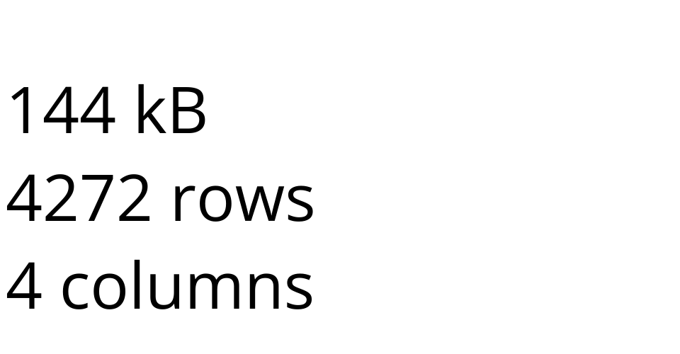
This dataset was taken from: Geonames for Cities
Within this dataset, city names are provided alongside their latitude, longitude, and population.
Attributes:
- name: The name of the city. The main focus of the dataset.
- latitude: Latitude coordinate. Position of the city can be used to determine commonality between word fragments/sounds and location. It can also be used to see densely populated regions.
- longtide: Longitude coordinate. See latitude.
- population: The population of the city. Can be used to see if there is any relation between large cities and their names. Also useful for seeing how densely a region is populated.
Tasks and Questions:
- What areas around the world are the most densely populated?
- Does population have any relationship with city name?
- Which city-name-word sounds are most common in various regions?
MIT Licensed