A Map for USA Airport data using the vega-lite-api.
This visualization is designed to show the distribution of USA Airports.
Each circle represents an airport.
MIT Licensed
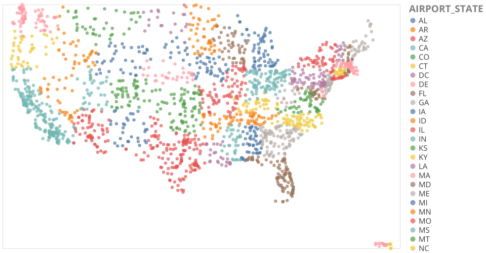
A Map for USA Airport data using the vega-lite-api.
This visualization is designed to show the distribution of USA Airports.
Each circle represents an airport.