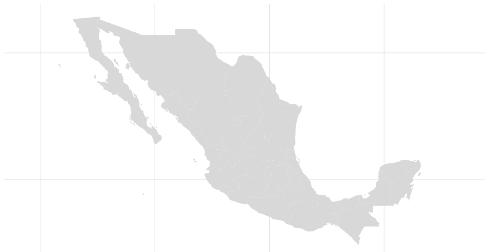
used arcgis.com data for plotting states and boundaries mapshaper.org to create JSON of states witin mexico using mercator projection Still need to center on the rendered image
MIT Licensed
used arcgis.com data for plotting states and boundaries mapshaper.org to create JSON of states witin mexico using mercator projection Still need to center on the rendered image