ICE-8 Q1.1 — World Map (Natural Earth)
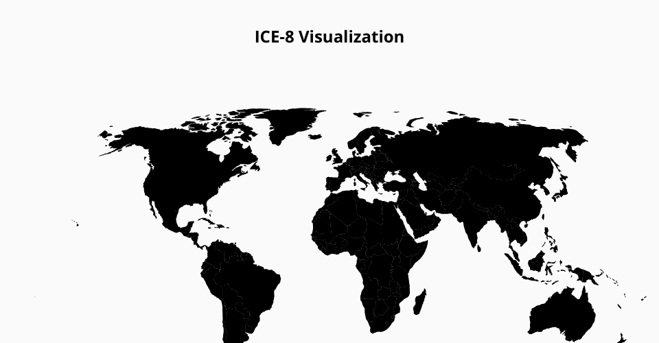
What this shows: A world choropleth base (no colors yet) using the Natural Earth projection.
Why this projection? Natural Earth gives a visually balanced world view with a good compromise between shape and area.
How to run
- Use the provided
index.html(with importmap) andstyle.css. - Paste this
index.jsand hit Run in VizHub.
Files
index.html— includes importmap +<svg id="viz">style.css— simple styles for land/bordersindex.js— draws countries + borders from world-atlas TopoJSON
MIT Licensed