Location: Memphis, Pavilion rooftop - McKellar Park
Date (UTC): 09-Jul-2013 23:27:37
Original Data Source: Wind_Profile_57_20130710_002722.csv
Instrument or model designator: Halo Photonics StreamLine, 57
Instrument software or model version: StreamLine v10
Profile or Instrument Longitude: -89.980751783
Profile or Instrument Latitude: 35.011683521
Profile or Instrument Elevation (MSL,m): 110.305
Data Processing Notes:
(1) Interpolation: None
(2) Smoothing: Spline smoother applied to CRG LOS estimates (dof=20)
(3) Extrapolation: None
(4) Other processing or filtering notes: DBS scan. The lidar is mounted on a rooftop of a pavilion. Rooftop is at 109.2 m MSL. Ground near pavilion is at 105.5 m MSL. Run with CRG QC filters ON. Source file used DST. UTC is used in this file.
Project Sponsor: National Aeronautics and Space Administration
This file was created on 06-Jun-2014 01:14:40 Pacific Time
File created by Matt Pruis, NWRA, matt@nwra.com
File created with the script D:\projects\nasa\DataAnalysis\20140602 Wind Profiles for LL\Data For LL\WriteWindProfile_v20140605
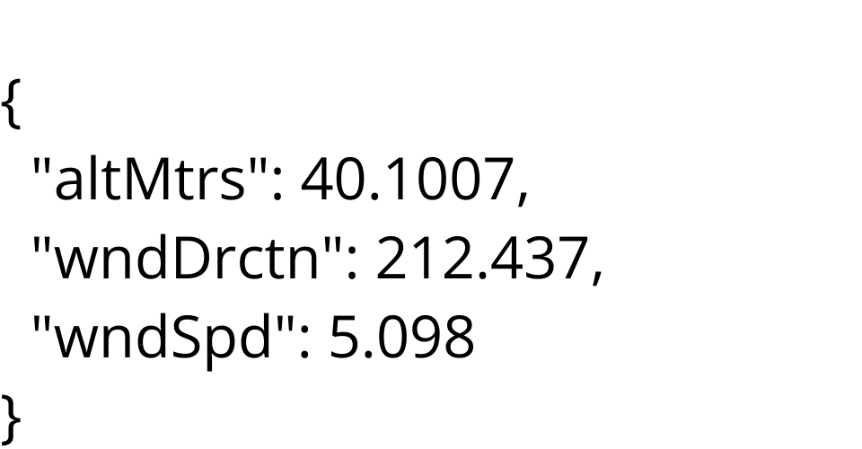
Data File Format (1st line): number of data points
Data File Format (remainder of file): Height above sensor (m), Wind Direction, Wind Speed(m/s)
584 => typically the number of rows in a file.
https://halo-photonics.com/
MIT Licensed