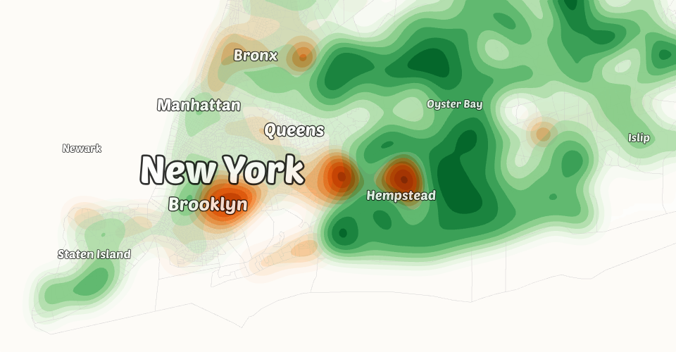
A rough prototype for computing contours from census tracts. Warning: performance is poor! This has not been optimized.
Data for New York census tracts, downloaded from https://www.census.gov/cgi-bin/geo/shapefiles/index.php?year=2023&layergroup=Census+Tracts and processed using https://mapshaper.org/.
Data resides in Gist: New York City Census Tracts.
See also:
MIT Licensed