A basic working starter example for using MapLibre GL and OpenMapTiles.
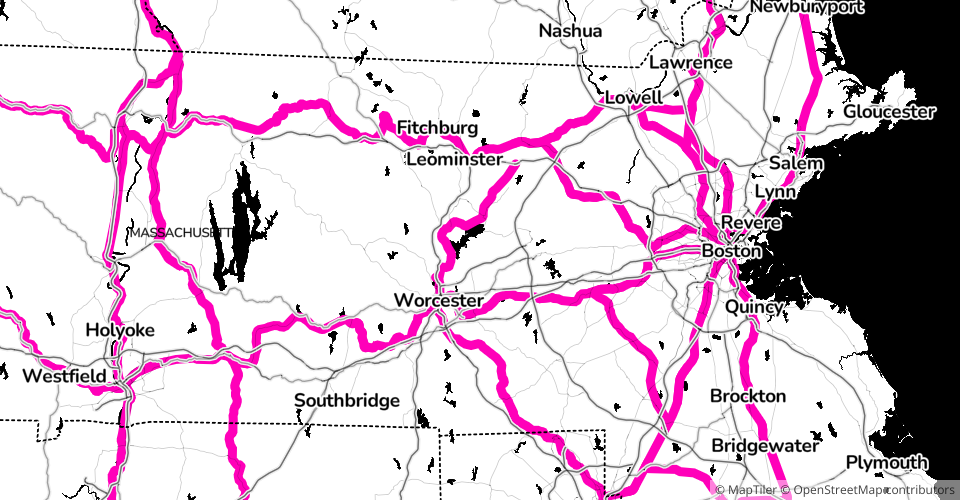
This is just an experiment that uses a custom style that is defined inside MapTiler, which changes the style for railroads.
Inspired by OpenMapTiles: Mapbox GL JS Display a Map.
MIT Licensed