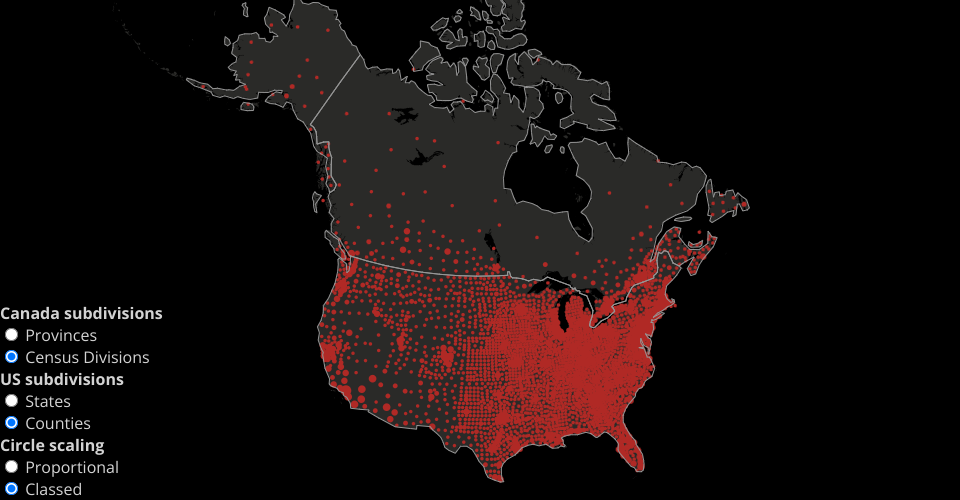
Simulated COVID maps, inspired by https://coronavirus.jhu.edu/map.html
For context, see this twitter thread: https://twitter.com/mappingmashups/status/1382446649327296514
2016 Canada Census Division populations from: https://www12.statcan.gc.ca/census-recensement/2011/geo/bound-limit/bound-limit-2016-eng.cfm 2019 US county populations from: https://www.census.gov/data/datasets/time-series/demo/popest/2010s-counties-total.html
Classed legend more or less copied from the Johns Hopkins map:

MIT Licensed