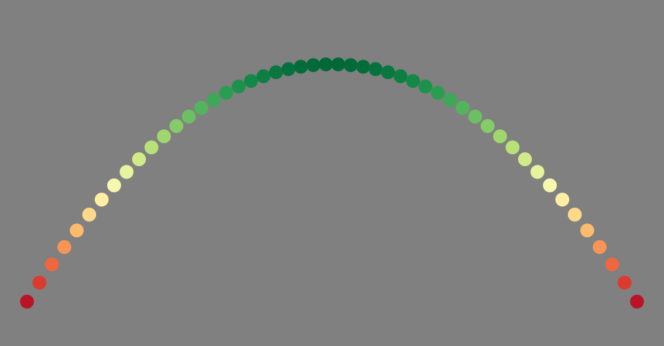
Pseudo visualization which includes some of the marks and channels needed to visualize the change in global tree cover since 2000. This includes color mapping, and x and y positioning. I have visualized a parabola to demonstrate the x and y locating, which will come from the GPS coordinates!
MIT Licensed